/
Google’s new Immersive View for routes could make it a lot easier to visualize where you need to travel.
:format(webp)/cdn.vox-cdn.com/uploads/chorus_asset/file/24645690/Screenshot_2023_05_09_at_2.16.35_PM.png)
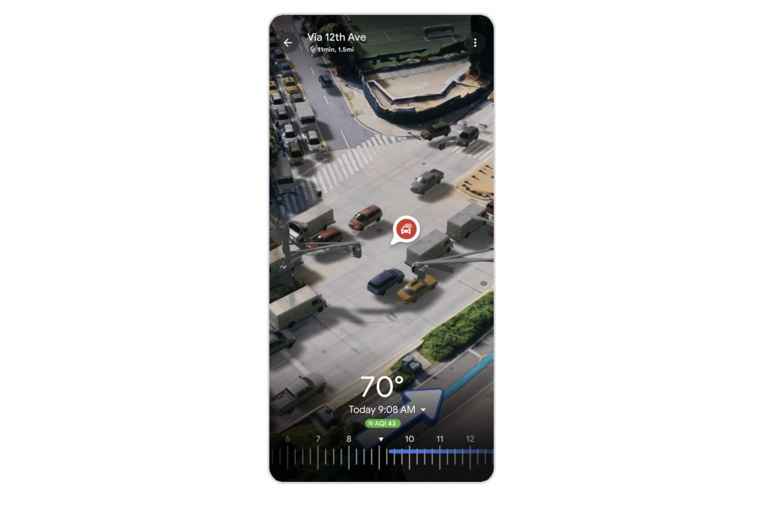
Google Maps is bringing its recently launched Immersive View to your travel routes, which could make it much easier to understand where you want to go. The new feature, which Google calls Immersive View for routes, was shown off at Google I/O 2023 on Wednesday.
Immersive View currently offers a 3D view of a place and adds information like weather or traffic to give you a better idea of what’s going on at that location. (It’s kind of like Apple’s Flyover view but with more detail.) By bringing the Immersive View to route planning, you’ll be able to get a bird’s-eye view to help you better visualize the landmarks and buildings you might see while navigating somewhere new. Google will even let you see traffic simulations so that you can understand what you might be dealing with on the roads.
Here’s a video showing how it all works:
As impressive as it seems, you might have to wait a while to try Immersive View for routes for yourself. Google says the feature will arrive in the “coming months,” and it will roll out for 15 cities, including Amsterdam, Berlin, Dublin, Florence, Las Vegas, London, Los Angeles, Miami, New York City, Paris, San Francisco, San Jose, Seattle, Tokyo, and Venice.
In an interview, Miriam Daniel, VP and GM of Google Maps, clarified that the feature will come to a few cities in the summer and all 15 cities by the end of the year. And Immersive View for Maps will launch first on iOS and Android; when I asked if it would be coming to desktop, Daniel declined to comment.
