
Analyze high-resolution imagery on the Spookfish mapping platform
By: Brynne Henn
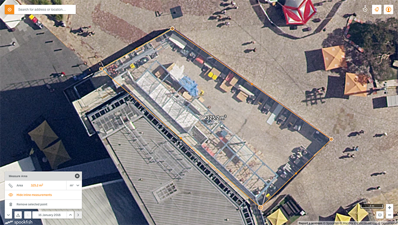
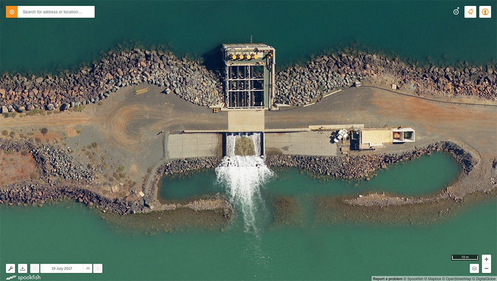
Aerial imagery company, Spookfish, delivers (stunningly) detailed aerial imagery and analytics to government and enterprise customers. And they use Mapbox to do it. Their specialized multi-sensor capture technique allows them to build detailed 3D models of the land below. When Spookfish was just getting off the ground, the team turned to our Maps API, Geocoding API, and GL JS to quickly deploy their map experience to analysts and developers.
We investigated a number of web mapping libraries but quickly found that most lacked the functionality we required. For example, most libraries still used 2D canvases, and none of them let you quickly and easily iterate on styling vector data — an important requirement for us when it comes to visually representing AI data and other overlays. We also found Mapbox to be an excellent “all-in-one” solution for both mapping and search.— Josh Maisey, Head of Digital at Spookfish
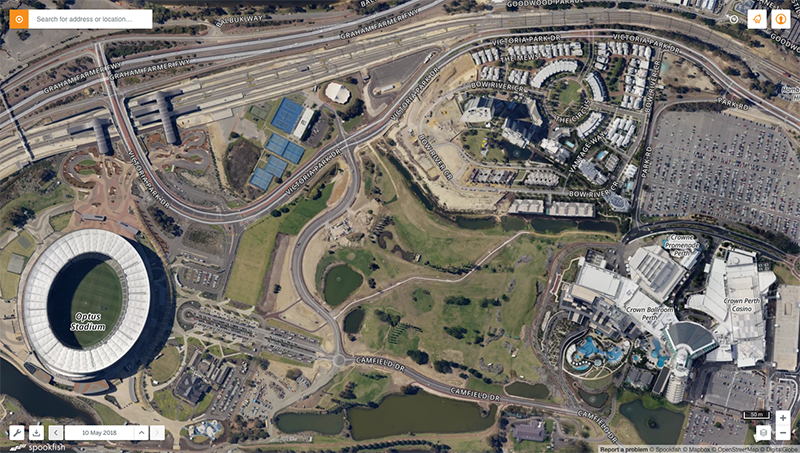
Our Maps API and GL JS allows the Spookfish team to pull fast-loading, detailed basmaps into their platform; while our Geocoding API enables accurate location search in the map.
We’ll be looking to leverage Mapbox’s features to help deliver these 3D and Digital Elevation Model products in the future.
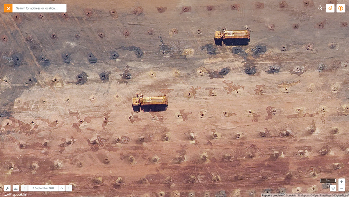
Spookfish packs multiple sensors onto their planes to collect photorealistic, true 3D models of the land below for every survey they fly. These surface and bare-earth elevation models will be updated with every capture, letting analysts detect and measure elevation changes in urban and natural settings.
For more information about Spookfish, please contact Nigel at nigel.conolly@spookfish.com. To learn how Mapbox can help you with your aerial imagery platform, contact our team.
Brynne HennBrynne is based out of Washington, D.C. where she leads the Content Marketing team in our online engagement. She is…www.mapbox.com
Go to Source