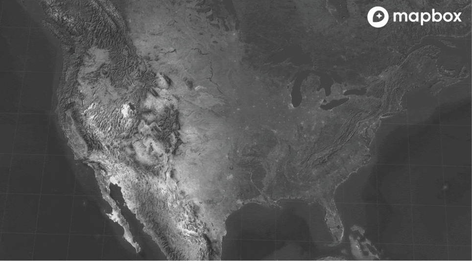
Admin 0 polygons with updated disputed boundaries and 4 different worldviews, made with MTS By: Arun Ganesh The collection of high resolution administrative level-0 country polygons in Mapbox Boundaries is now available to all designers and developers using the new version of Studio, for free. The individual country polygons include updates to major disputed areas and support… Continue reading High resolution administrative country polygons in Studio
Author: Mapbox Official_News
Announcing Monthly Invoicing: ACH, Bank Wires and credit cards
Flexible invoice payments + pre-established invoicing workflows with third-party accounting vendors By: Vishal Patel Mapbox is now accepting two new payment methods — ACH and Bank Wire — as part of our new Monthly Invoicing (public beta), letting Finance teams manage payments from their secure company-approved payment methods of choice. Monthly Invoicing provides a flexible alternative billing solution to lighten accounting… Continue reading Announcing Monthly Invoicing: ACH, Bank Wires and credit cards
Unreal Engine for Auto with Mapbox
By: Christine Moloney Epic Games is integrating Mapbox into its Unreal Engine as part of their HMI initiative to enable the next generation of infotainment and digital cockpit user experience — here’s a sneak peek. The move to offer Unreal in an HMI-specific package brings the award-winning design features of the Unreal Engine to automotive, starting with GMC’s… Continue reading Unreal Engine for Auto with Mapbox
Enhanced Location Engine Ships in New Navigation SDKs (Android + iOS)
By: Antonio Zugaldia Our latest Navigation SDK (v1.0 Android + iOS) ships with an enhanced location engine to better guide drivers in dense urban environments with poor GPS signal and through complex maneuvers that traditionally make guidance confusing — such as sharp turns, narrow exits, and adjacent parallel roads. This new location engine continually filters and processes GPS… Continue reading Enhanced Location Engine Ships in New Navigation SDKs (Android + iOS)
High-resolution imagery (10 cm) in North Rhine-Westphalia in Germany
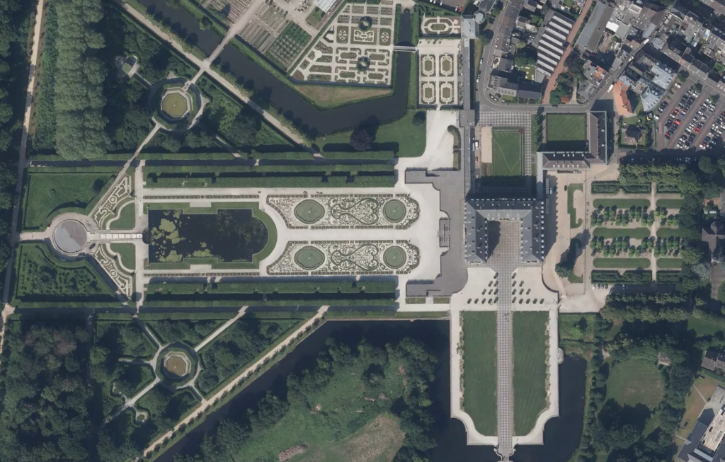
By: Eric Gundersen We just added 34,000 sq km of 10 cm imagery over North Rhine-Westphalia in Germany. NRW is the most populous German state with almost 18M residents, and contains the cities of Cologne, Bonn, Dortmund, and Dusseldorf. Log in to Studio to see the updated imagery, or check out a few of our… Continue reading High-resolution imagery (10 cm) in North Rhine-Westphalia in Germany
Improving pandemic visualizations with Mapbox Boundaries
How the CDC, ShareCare, and others created their COVID-19 maps By: Jeff Butler Diseases may not recognize borders, but administrative and political boundaries are central to how we understand and respond to disease outbreaks. Boundaries datasets provide a vital geospatial scaffolding for the analysis and visualization of disease data, at both local and global levels. Over the course… Continue reading Improving pandemic visualizations with Mapbox Boundaries
Glow Effect: the firefly technique
By: Jonni Walker The “glow effect” is a cartographic technique, pioneered by John M. Nelson, and is often referred to as the firefly technique. Studio makes it easy to create this technique, so I wanted to show off a few tricks and tips for making your data glow. The glow effect can be applied to any data… Continue reading Glow Effect: the firefly technique
Zubie: Fleet management made SIMPLE
Simple to understand, simple to install, and simple to use without breaking the bank By: Caren Plummer Zubie is a forward thinking, fleet management company redefining the space by making it easy to work with fleets of all sizes. Mom-and-pop dry cleaners, ice cream trucks, and large rental companies all take advantage of Zubie’s solutions. By plugging… Continue reading Zubie: Fleet management made SIMPLE
Rebuilt locator overlay for iD editor
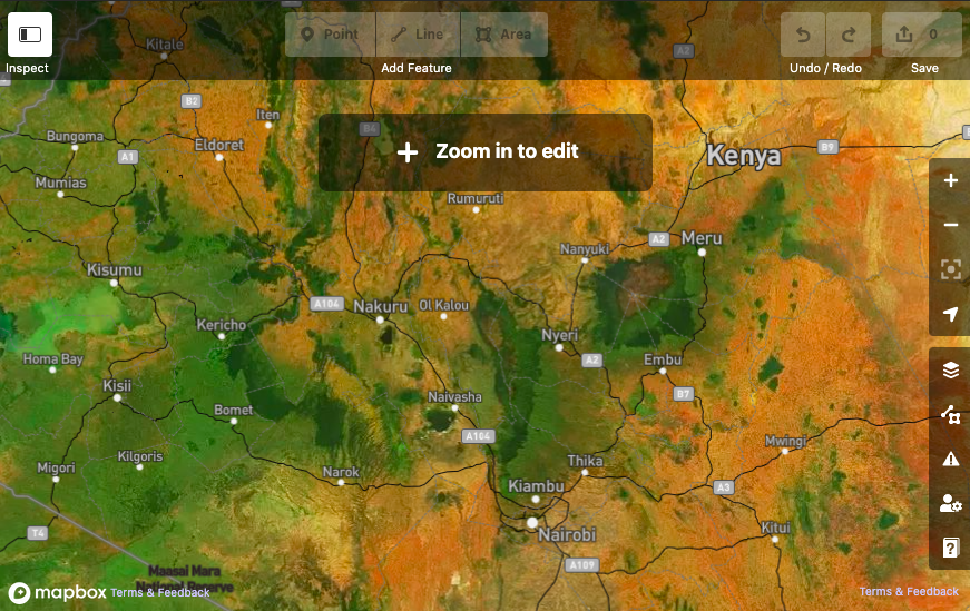
By: Vanessa Knoppke-Wetzel We have migrated the iD “locator overlay” to use the latest features of Mapbox Studio available with Style Components. This update just went live with the latest version of iD featuring tablet support. This semi-transparent overlay helps situate OpenStreetMap editors as they explore the map when zoomed out. Via the OpenStreetMap editor-layer-index, the… Continue reading Rebuilt locator overlay for iD editor
Exploring From Home: A map coloring book
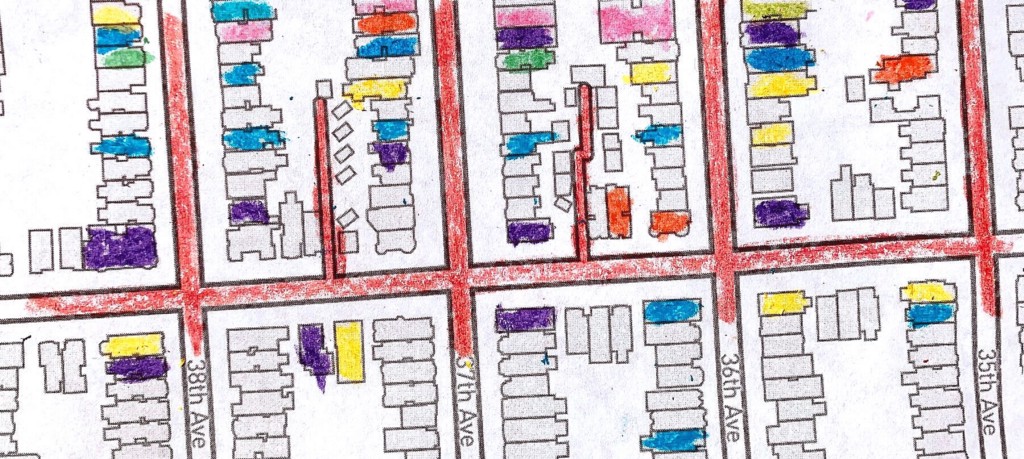
From your working-from-home friends at Mapbox By: Madison Draper From working in castle-like pillow forts, to fending off pool noodle attacks during conference calls, Mapbox’s global staff are finding creative ways to keep their children entertained and enriched while working from home and with schools closed during this COVID-19 epidemic. Mapbox Support Engineer Rafa, and his personal… Continue reading Exploring From Home: A map coloring book


