日本語題: 国連ベクトルタイルツールキットと日本でコラボレーション
By: Allan Walker
Hidenori Fujimura, a developer at Geospatial Information Authority of Japan (GSI) of Japan, is using Mapbox open-source vector-tile libraries to enable the United Nations to add geospatial context to disaster response and disaster risk management efforts worldwide.
国土地理院の藤村英範氏は、Mapboxがオープンソースとして提供するVector tileライブラリを利用して、国連における全世界的な災害対応や災害リクス管理のための地理空間情報に新たな多様性を提供しています。
Mapping in Japan
With a 150-year history, the Geospatial Information Authority of Japan (GSI) upholds a proud tradition of cartography in Japan by using ever-evolving technologies.
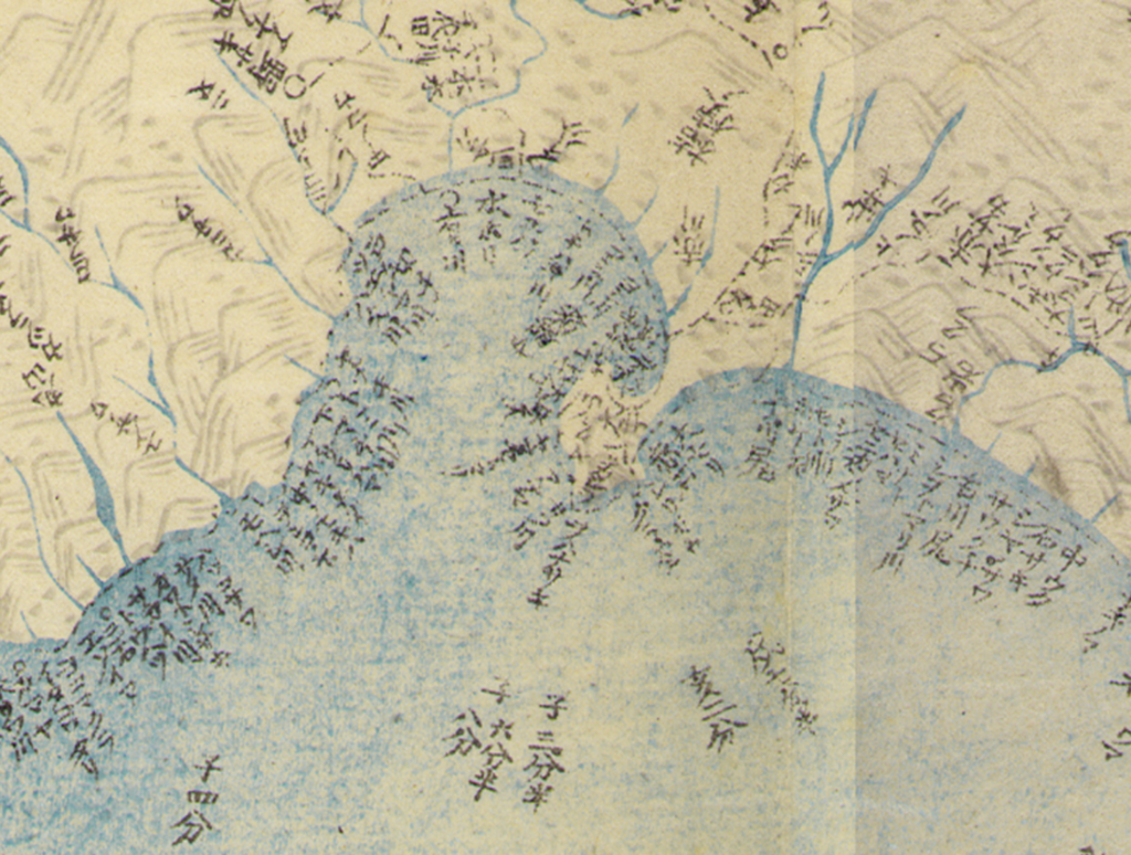
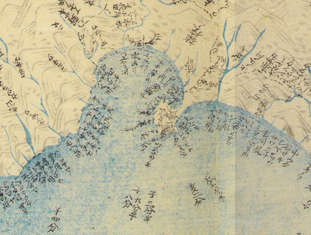
国土地理院は日本政府の地理空間情報当局で,150年の歴史を持つ組織です。日本にはその前から地図作成の伝統があり,1800年代に作成された伊能忠敬の地図は,多くの日本の人々にとって誇りとなっています。
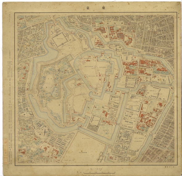

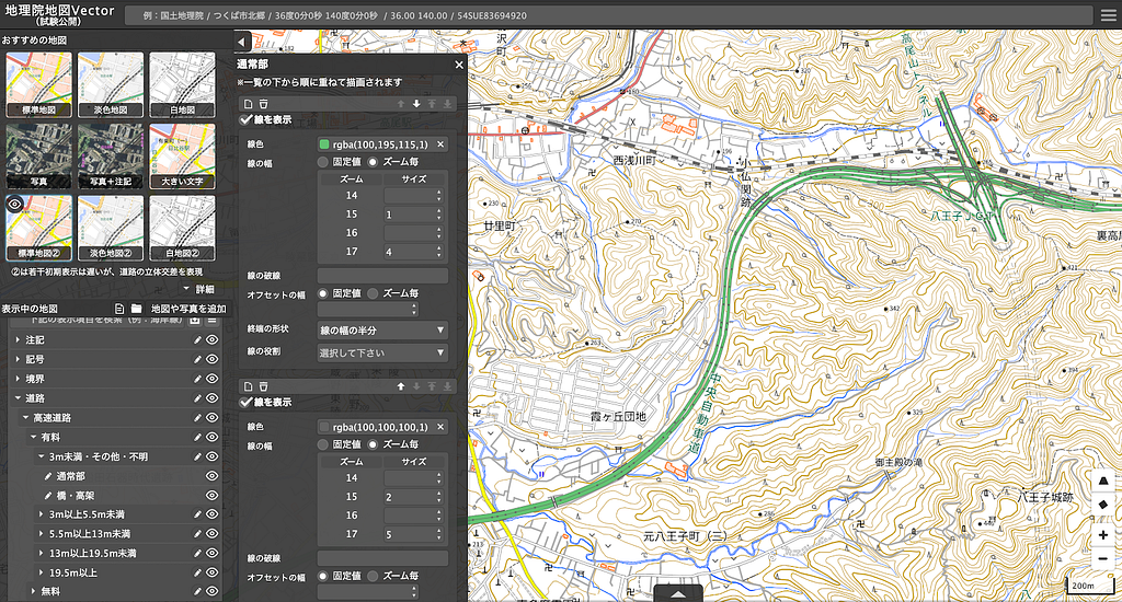
In 2003, they launched the Digital Japan Web System using their own vector tile technology. They then switched to open-source software in 2012 and initially used raster-based image tiles. When Mapbox released Mapbox GL to the open-source community in 2014, GSI saw the value and immediately started experimenting using vector tiles. Now five years later, the GSI Maps Vector was released for engineering experiments within GSI.
民間セクターの様々なウェブ地図と並んで,国土地理院では2003年に Digital Japan Web System (電子国土ウェブシステム)というウェブ地図をベクトルタイル技術を使って開始しました.2012年にオープンソースソフトウェアを取り入れた国土地理院は,それと引き換えにいったん画像タイルに移行しましたが,2014年に Mapbox が Mapbox GL を公開した時,さっそく国土地理院ベクトルタイル提供実験を開始し,2019年には地理院地図 Vector を試験公開しました.
Japan has many factors that contribute to the evolution of its cartography: dense land-use, Kanji symbology used in vertical writing, a unique address system based on blocks, and frequent natural disaster scenarios. These elements made map-making in Japan somewhat unique. Hidenori believes it is these qualities that present an opportunity for map-making in Japan to contribute to global geospatial information management issues.
日本においては、高密度化、漢字表記による縦方向の記述、地番に基づくユニークな住所表記、頻繁な災害シナリオと行った、地図作成の革新を実現する様々な要素があります。これらの要素は、日本における地図作成をユニークなものにしております。藤村氏は、この特徴的な品質をもつ日本の地図作成技術が、世界的な地理空間情報の課題解決に貢献すると確信しています。
Bringing GSI experience and vector tile technology to the UN
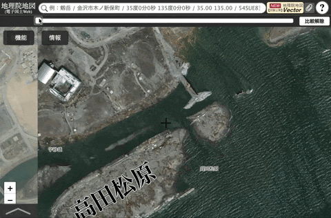
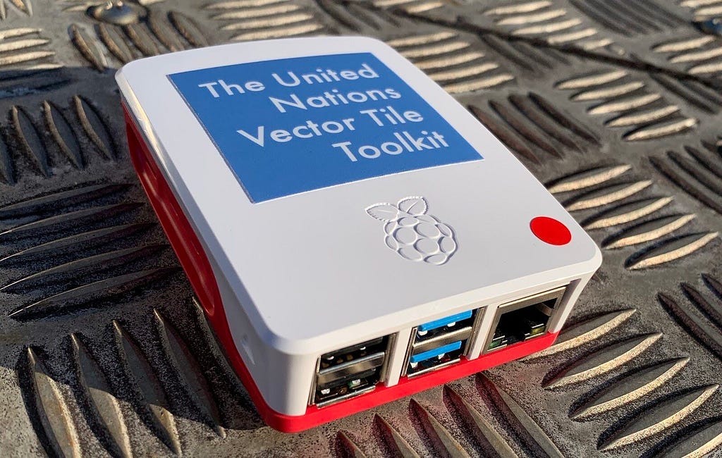
In testing with the GSI Maps Vector, Hidenori created the United Nations Vector Tile Toolkit (UNVT). The UNVT gives users situational awareness capabilities to support decision making during disasters, even when there is little to no internet connection, by making use of Mapbox GL JS, Tippecanoe, Docker, and Raspberry Pi.
GSIにおけるベクトルマップの検討を通じて、藤村氏は国連ベクトルタイルツールキット(United Nations Vector Tile Toolkit. 通称UNVT) を創設しました。このUNVTは、利用環境に応じた動作が可能であり、インターネット環境に接続できないような、災害時の意思決定に非常に効果的なツールで、Mapbox GL JS, Tippecanoe, DockerとRaspberry Piで構成されています。
Hidenori will be presenting the UNVT at the UN-GGIM WG-Disasters Conference 2020 in Tokyo in February, and demonstrating the power of UNVT for disaster response using geospatial information from Typhoon Hagbis.
藤村氏は、東京で開催される「国連 GGIM 防災会議」にて、国連ベクトルタイルツールキットで実現した,台風ハギビス(19号)に対する国土地理院の災害対応の地理空間情報についてご紹介することになってます。
I respect Mapbox for sharing excellent technologies such as the Mapbox Vector Tile Specification, Mapbox GL JS, and Tippecanoe under an open license.
When we use Mapbox Vector Tile Specification, the size of tiles can be reduced to 25% compared with traditional raster image tiles. This will enable more public organizations to provide their own maps.
Through the GSI Maps Vector Product, and the United Nations Vector Tile Toolkit (UNVT), we hope to contribute to the rich Japanese tradition of cartographic diversity. — Hidenori Fuijimura
藤村氏のコメントです。
「Mapbox Vector Tile Specification や Mapbox GL JS,Tippecanoe のような優れた技術をオープンライセンスのもとに共有してくれた Mapbox に敬意を持っています.
MapboxのVector Tileを使う事で、それまでのraster Tileベースの25%までに、データサイズを減らすことが可能になりました。
今後、官公庁などの公共機関により作成される地図の提供が、より一層推進されることが期待されます。
国連ベクトルタイルツールキットを通じ,ウェブにおいても,紙の地図の時代と同様に,優れた地図が自由に選べるという「地図の多様性」が持続可能な形で確保されることに貢献したいと思っています.
Explore UNVT for yourself or to build your own tools for situational awareness, start building with our Quick Launch solution.
についての詳細はこちら。また、ご利用環境に応じた地図ツールの利用を実現する Quick Launch solutionも是非お試しください。
Collaborating with the Geospatial Information Authority of Japan was originally published in Points of interest on Medium, where people are continuing the conversation by highlighting and responding to this story.