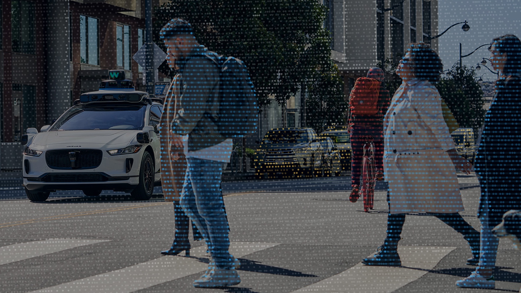
Two sets of data are now available: thermal camera view set from Teledyne FLIR and a label treasure from Waymo.
Datasets are required to familiarize the vehicle AI with reality in the simulation. In this way, the AI can learn how to behave correctly in traffic. The scenes from the real world are bases for this. However, these basics are expensive to provide and this is where large companies have clear advantages. such has Waymo expand a data set.
Waymo record icon image. Source: Waymo
Specifically, it is the Waymo Open Dataset from 2019, which is considered one of the greatest data treasures of autonomous driving. However, it is only released for research purposes. The original data set with 1,000 driving segments was almost doubled due to high demand. In addition, a movement data record has been added, with which a behavior prediction can be trained.
The extensions have keypoint labels, as including keypoints and pose estimation. This can be used, for example, to assess the turning behavior of cyclists. Other new details are the 3D segmentation labels, which, in addition to object classification, allow pixel-precise traceability to the point cloud. so can lidar data be better evaluated. Furthermore, the new Waymo dataset has a 2D-to-3D bounding box correspondence. This allows 2D camera images to be converted to 3D lidar images.
The Waymo Open Dataset Challenges 2022 wants to use a movement prediction based on the last second to predict eight objects for eight seconds. This should succeed with the metric “Soft mAP”. Also with the last second you want to record a map in which the entire traffic flow can be predicted from a bird’s eye view for eight seconds. Semantic 3D segmentation is also possible with camera and lidar images. In the future, a pure camera perspective in 3D should also be able to be created from the material. The challenge has a prize of US$15,000 for first place. who wants to participate must click here.
Sensor companies also publish datasets in order to better market the sensors. This applies in particular to sensors, the benefits of which are still being advertised, such as thermal imaging cameras. The enterprise Teledyne FLIR provides a free data set for autonomous driving functions. This data set has also changed compared to the previous sentence almost doubled and has over 26,000 annotated images from France, the UK and the US, day and night. The object classification also includes buses, trains, trucks, people, bicycles, prams, skateboards, scooters, traffic lights, traffic infrastructure, dogs and, of course, cars and motorcycles. Source (english)
